Scioto Trail

Essential Information
- Mileage: 9 miles
- Activities:
- Running
- Biking
- Location: Central Columbus
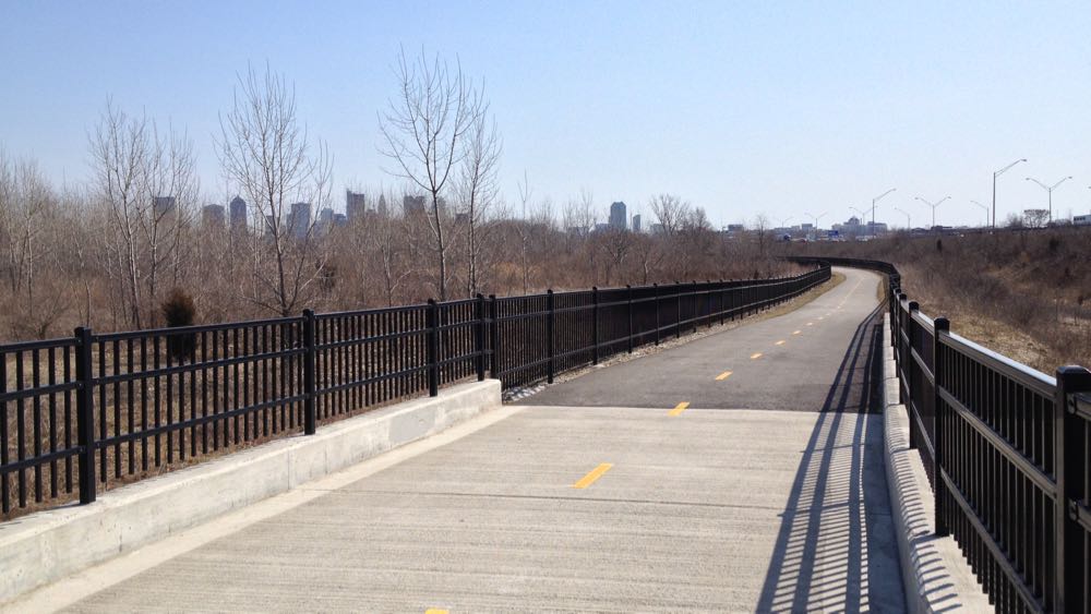
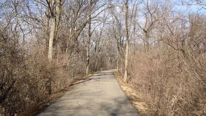
True to its name, the Scioto Trail closely follows the Scioto River for its entire length. The trail is flat, paved, and well maintained. The river is a constant, but the scenery varies quite a bit. With the exception of a brief portion on the edge of the German Village, the southern section is mostly parkland. The trail passes the Scioto Audubon Metro Park, and it spends a substantial amount of time in Lou Berliner Park.
The central section of the trail goes through the Scioto Mile and the edge of downtown. Depending on when you travel through this section it can be almost abandoned or completely packed. It’s easy to access downtown, COSI, and the Arena District from this section. Additionally, there are often events going on at the Scioto Mile.
One confusing section occurs near downtown by Long Street and 315. Here, the Olentangy Trail meets up with the Scioto Trail. The Olentangy Trail is on the north side of Long Street, and the Scioto Trail stays to the south. Be sure to pay attention here. Combining both trails can make for a nice ride or run, but it’s also easy to get on the wrong trail accidentally.

Much of the northern section exists in a strange no mans land, with the the trail traveling by an old quarry, alongside highway exit ramps, and routed atop a series of tall, narrow, man-made islands in the Scioto River. It’s not exactly scenic, but it is interesting. This section also has a large access bridge over the Scioto River that connects the trail to McKinley Ave. and the Hilltop area. From the other side of this bridge it is only around 1/2 mile to the start of the Camp Chase Trail (trail review coming soon), which continues all the way to Battelle Darby Creek Metro Park and beyond.
Additional Information
- View the Scioto Trail map on the Columbus Parks and Rec website.
- Get more information about the Scioto Mile.
- Visit the Scioto Audubon Metro Park’s website.