Scioto Grove Metro Park

Essential Information
- Mileage: 7 miles
- Activities:
- Trail Running
- Location: Grove City
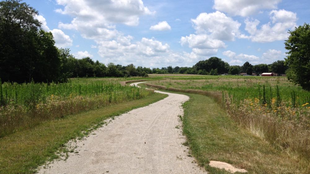
Scioto Grove Metro Park is a brand new park that opened in the summer of 2016. The trails here go through fields, prairies, and woods as they closely follow the banks of the Scioto River. Most of the trails here are relatively easy. There are no major hills, and most of the trails are smooth and wide. It’s not the most exciting terrain, but it is still pleasant, and there is a decent amount of mileage. One word of caution is that the park should probably be avoided when it has been very rainy. Because most of the trails are flat and low lying, they will probably get quite muddy when it’s wet.
The park’s five trails can be combined to create a 6 mile loop. To follow this loop, start at the Arrowhead Picnic Area and head south on the Arrowhead Trail, a wide, flat, wooded trail made of smooth crushed stone. The Arrowhead Trail quickly hits the Overlook Trail, which is similarly wooded and flat, but instead with a dirt surface. Head south on this trail to reach the Mingo Trail.

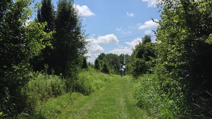
The Mingo Trail is a wide, flat, grass and dirt trail that goes through fields and prairies. This is the longest trail in the park, and it is also the least crowded and most remote feeling. There are few spur trials to watch out for, but it is pretty easy to find your way, and the there are trail maps posted at major intersections. The Mingo Trail makes a full loop and then rejoins the Overlook Trail.
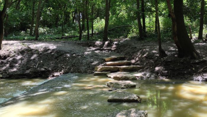
Follow the Overlook Trail back north until it hits the REI River Trail. Although most of the trails in the park are close to the river, the REI River Trail is the only trail where the river is almost constantly visible. This dirt trail is relatively narrow and constantly winding. The trail here is noticeably busier than the rest of the park because it is close to the two picnic areas and because the trail provides several access points to the Scioto River. The trail can be a bit confusing because there are many unmapped spur trails leading away from the main trail, but as long as you keep the river in your site you should be ok.

The short Hickory Trail begins where the REI River Trail ends. This trail goes through prairie, and it has a very pleasant crushed stone surface that is similar to the Arrowhead Trail. The Overlook Trail and the Arrowhead Trail break away from the Hickory Trail and lead back to the Arrowhead Picnic Area where the loop started. Unlike the southern section of the park where these two trails were clearly distinct, here they constantly criss cross one another and can be hard to distinguish. Thankfully, they both go in the same direction, so you won’t get lost. Just continue heading south and you will hit the Arrowhead Picnic Area and finish the loop.
Additional Information
- View the Scioto Grove trail map on the Metro Park’s website.
- View the park’s location on Google Maps.